
Introducing iOcean
Rehearse the dive before you go to sea
iOcean builds real reefs from what was measured there, lets water, life and machines act on each other, and flies your vehicle and your code through them. Every place says where its data came from.
Apple Silicon. Sign in with your iOcean account.
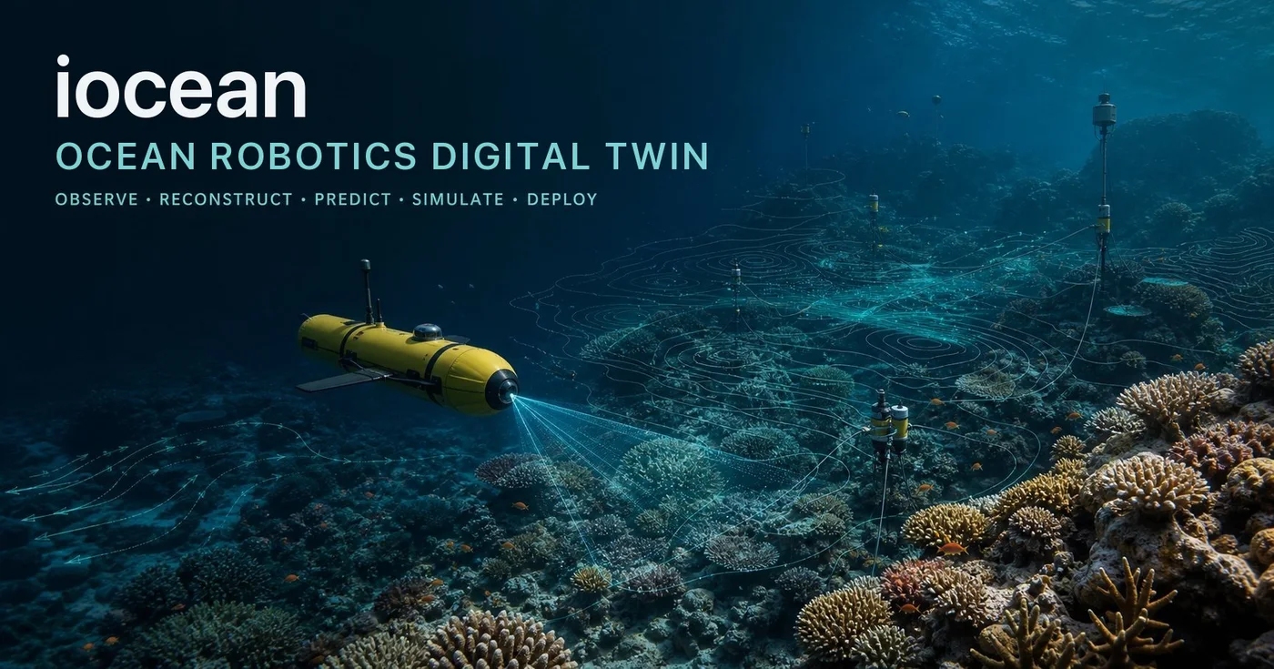
Every reef is somewhere real
Al Fahal and Shushah in the Red Sea, Looe Key in Florida, Kāneʻohe Bay in Hawaiʻi. Each is built from satellite, lidar and survey data, down to the coral colonies on the bottom.
Built from measured data
Real places, checked against the sea
A place starts from public data: satellite imagery, lidar soundings and habitat maps. iOcean turns it into depth, cover and colonies, and keeps the source of every cell.
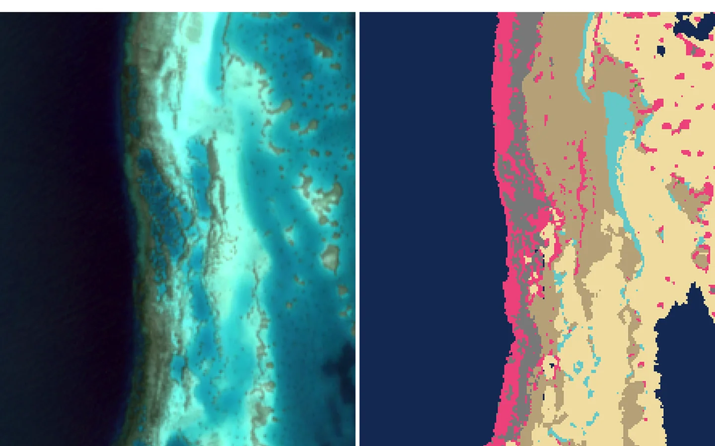
Depth from satellite, fitted to lidar
Seabed depth comes from satellite colour, then is fitted to ICESat-2 lidar soundings over the same reef. Shushah fits to 1.28 m and Al Fahal to 2.00 m, and the fit is published with the place.
Coral cover from imagery
A classifier reads coral, sand, rubble and algae from imagery. In the Red Sea it agrees with surveyed cover to within 2.3 points.
Colonies on the bottom, by species
Brain, table, branching and massive corals are placed by the cover map and sit on the seabed they grow from, so a camera at two metres sees what a diver would.
Video turned into reef
A survey video becomes a 3D patch of reef, placed into the map where it was filmed.
Systems that act on each other
The sea pushes back
Water, light, fish, sediment, tether and vehicle share one world. What one system does, the others feel.
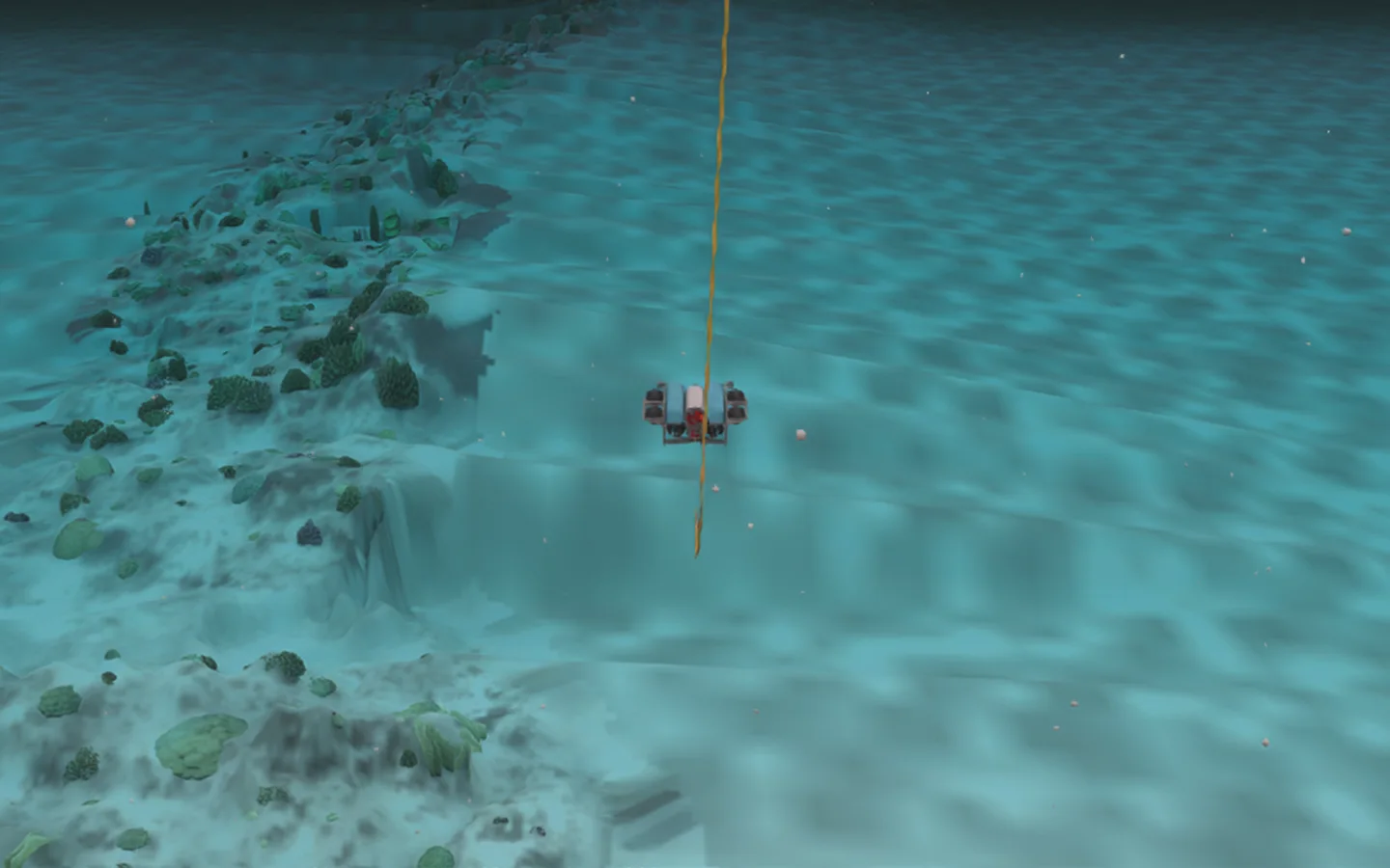
Thrusters stir the water
The wash from each thruster moves the water around the vehicle and lifts sediment off the bottom.
Fish that notice you
Fish school, and scatter when the vehicle comes close.
A tether with weight and drag
The tether is simulated along its length, so it sags and pulls on the vehicle.
Light that changes with depth and time
Colour fades with depth, caustics move on the sand, and a night dive is lit only by what the vehicle carries.
Your vehicle, your code
Fly your controller through a real reef
Bring a vehicle and the code that drives it. iOcean flies it through the place you choose and keeps everything the dive saw.
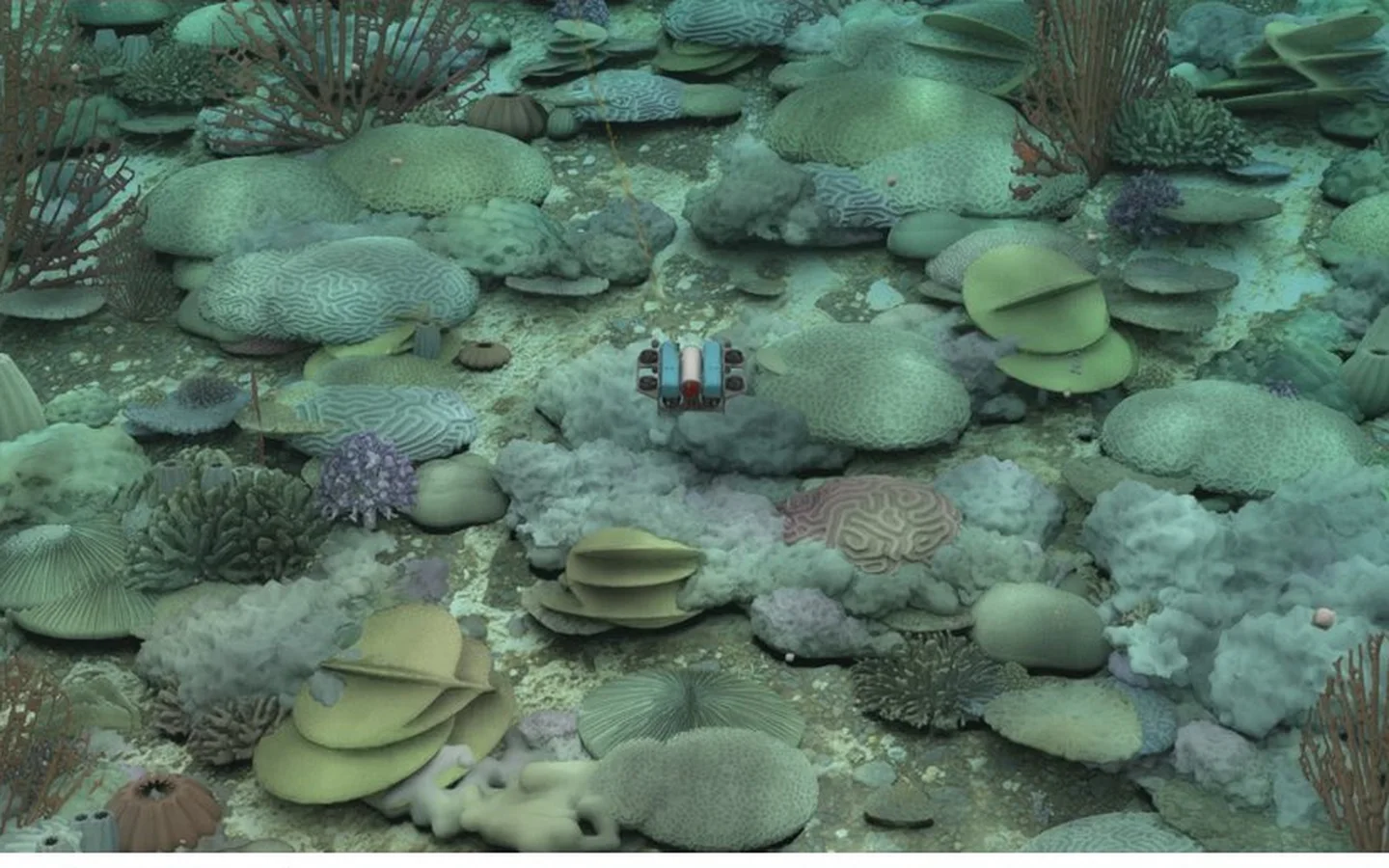
Controllers you write
Each vehicle has an SDK. Write a controller, deploy it, tune it and train it against the same dive until it holds.
From a tank to a reef
Start in a test tank, then fly the same controller over a reef.
A camera like the one you carry
Lens, port, filter, sensor noise and compression are modelled, so a frame from a dive looks like a frame from a real camera.
Every dive is kept
The camera frames, the vehicle's track and what it measured are recorded with the place and vehicle versions they came from.
Start with one dive
Sign in with Google and you have a space of your own with ten dives a month. If your institution has approved your address, you work on its quota too. Then download the app, pick a reef and a vehicle, and fly.
You are signed in. Download the app and sign in there with the same account.